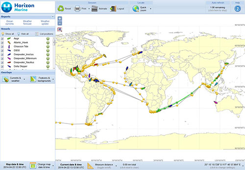
This service was developed to provide operations and logistics managers the ability to monitor the geographic position of individual vessels or a fleet of vessels located anywhere in the world from one interactive, user-friendly mapping interface. Positional data from a satellite-linked GPS beacon can also be integrated into a client’s existing GIS to place vessels in context with proprietary datasets.
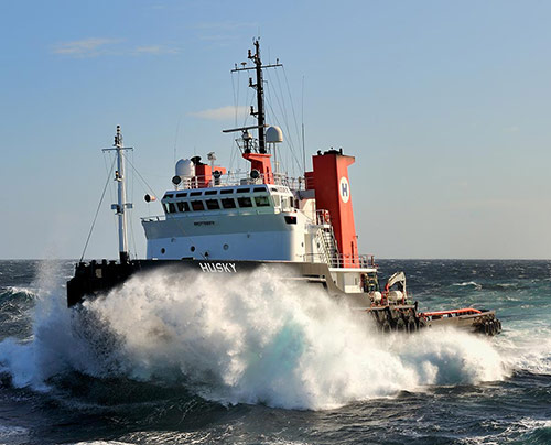
The asset tracking beacon is self-contained, battery powered, and housed in a robust, waterproof hull designed to withstand the most extreme maritime conditions. HMI utilizes several satellite communication systems (Iridium, Globalstar) in its EddyWatch® programs; however, for Asset Tracking, the Iridium Short Burst Technology has proven to be the most appropriate and reliable.
The advantages of using the Iridium transmitter include:
Features of the MetOcean Mapper include, but are not limited to:
Clients of this service include: BHP Billiton Trinidad, BP America, BP Trinidad & Tobago, EOG Resources Trinidad, INPEX, Shell French Guiana, Transocean, and Vantage Deepwater Drilling.
![]()

